Corfu, street and leisure map 1:50,000
Large, contoured map of Corfu, showing the long-distance hiking trail along the whole length of the island and highlighting various places of interest, with brief descriptions in an accompanying booklet which also provides a street plan of Kerkyra.
Relief is portrayed by contours with hill-shading and spot heights Road network shows minor roads and selected cart tracks. Symbols highlight various landmarks, and places of interest, including locations described in the booklet.
The map also highlights the course of the “Corfu Trail”, a long-distance footpath which crisscrosses the northern part of the island and runs to its southern tip mainly along the western coast. The map has a UTM grid and latitude and longitude margin ticks at 2’ intervals.
Included as an inset are maps of Paxos with Antipaxos, and the three small islands north of Corfu: Mathraki, Othoni and Erikoussa. Another inset shows Corfu and all these islands indicating ferry connections to mainland Gr
- Product Number: FB_CORFU_22
- Reference Product Number: - None -
- ISBN: 9783707909562
- Date of Publication: 4/21/2022
- Folded Size: 10.02 inches high by 5.11 inches wide
- Unfolded (flat) Size: 10.02 inches high by 5.11 inches wide
- Map format: Folded
- Map type: Trade Maps - Tourist
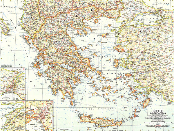
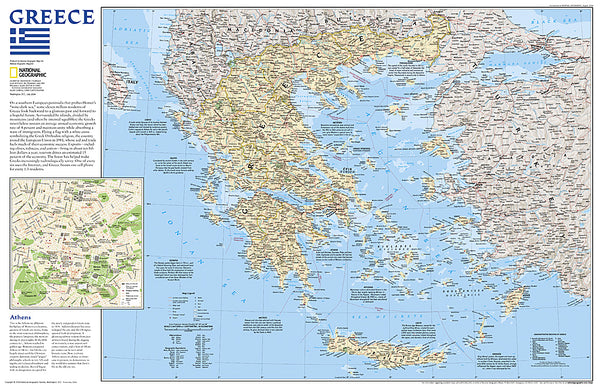
- Geographical region: Greece